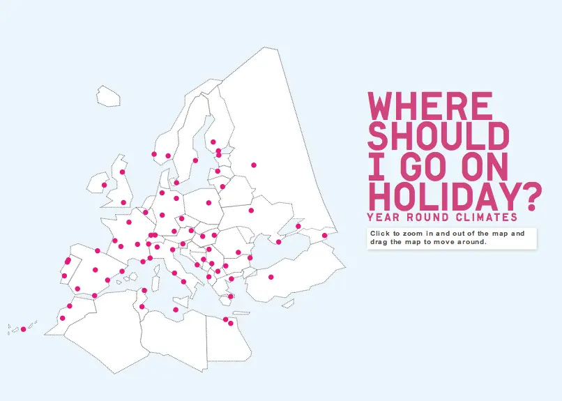
Greetings, Travellers! We wanted to share this online resource we came across - an interactive graphic map that lets you know where it's hot and when in major European cities by their climate. Perfect for planning your trip this 2012!
According to an article by TravelingGreener.com,
"BBC Weather and the MET office, the UK's national weather service, are the sources of the climate data on 70+ cities and 36 countries in Europe. Map users hold their mouse over a city destination and find out monthly temperatures, hours of sunlight, rainfall and humidity levels."